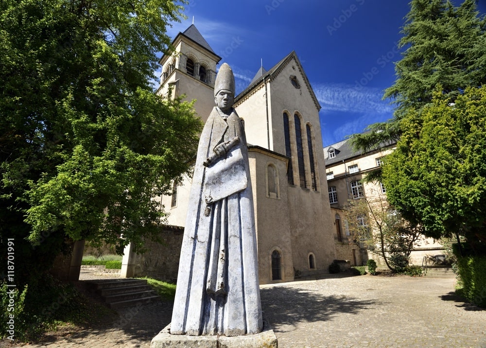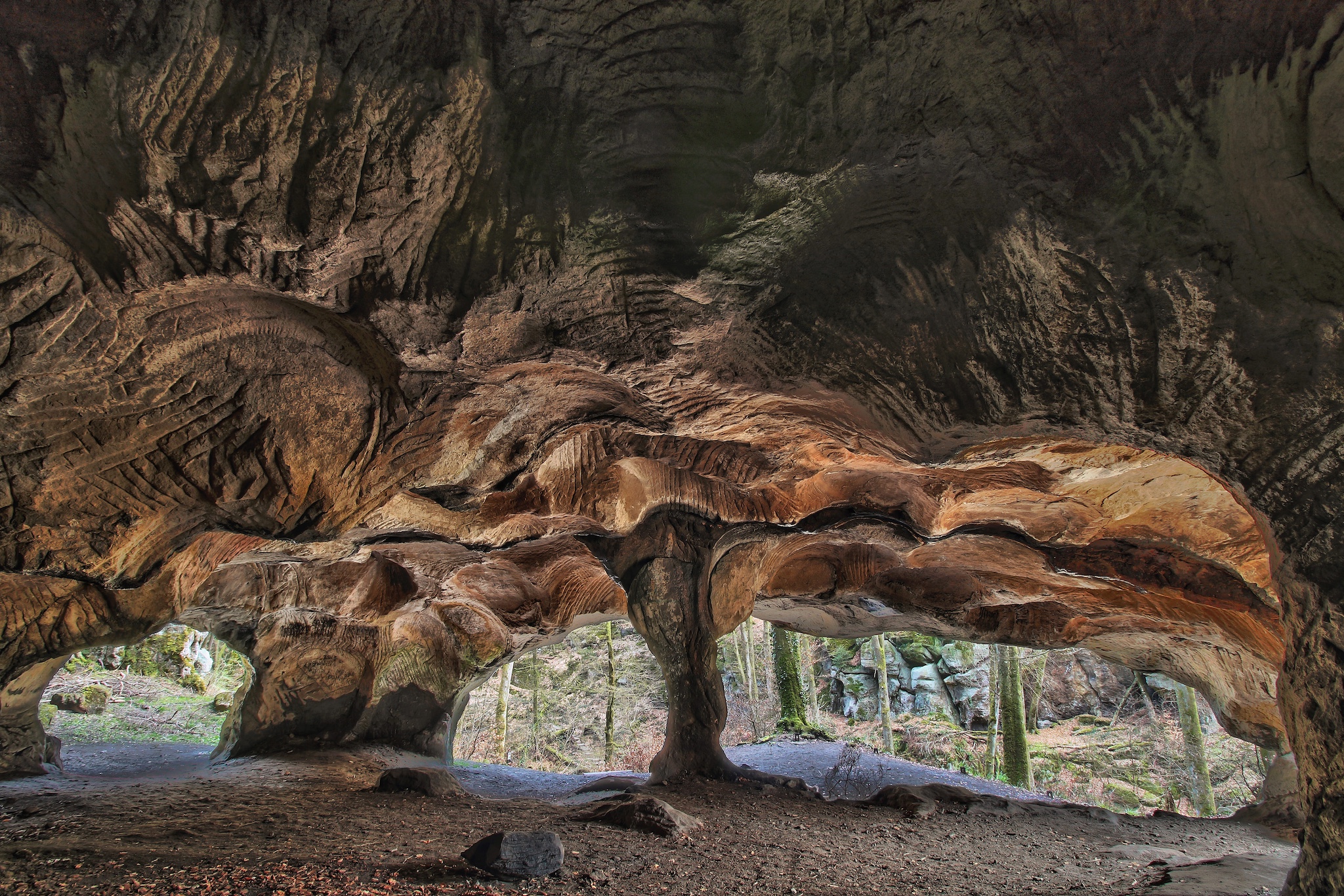
Cave Huel Lee
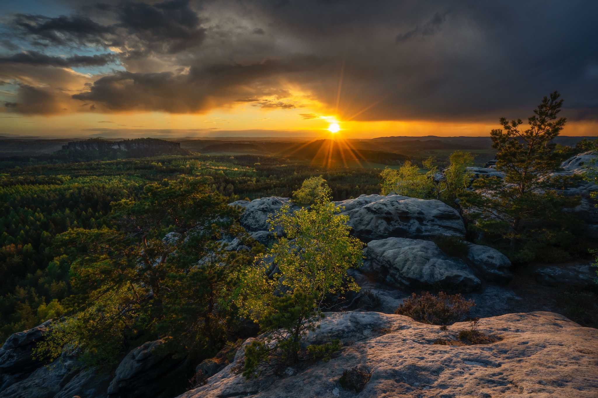
Ensconced at the heart of Luxembourg lies Müllerthal, the ‘Little Switzerland of Luxembourg’, an absolute must for anyone who adores outdoor activities. Its trails, rocky formations and forests offer a wide range of experiences for hikers, cyclists and nature lovers. From the legendary stages along the Müllerthal Trail to kayak and rock climbing adventures, every activity is accompanied by a full immersion in the natural beauty of the area. Discover the greatest outdoor activities to enjoy this corner of paradise to the full.
The Schiessentümpel Waterfall
12-min drive from the hu Birkelt village
After parking your car, it’s just a simple 500-m walk to reach the small waterfalls that gush into a green lake. In addition to the access from the parking area on the CR121 road, the waterfalls can be reached via the W6 and W7 hiking trails that start at the Heringer Mille Tourist Centre.
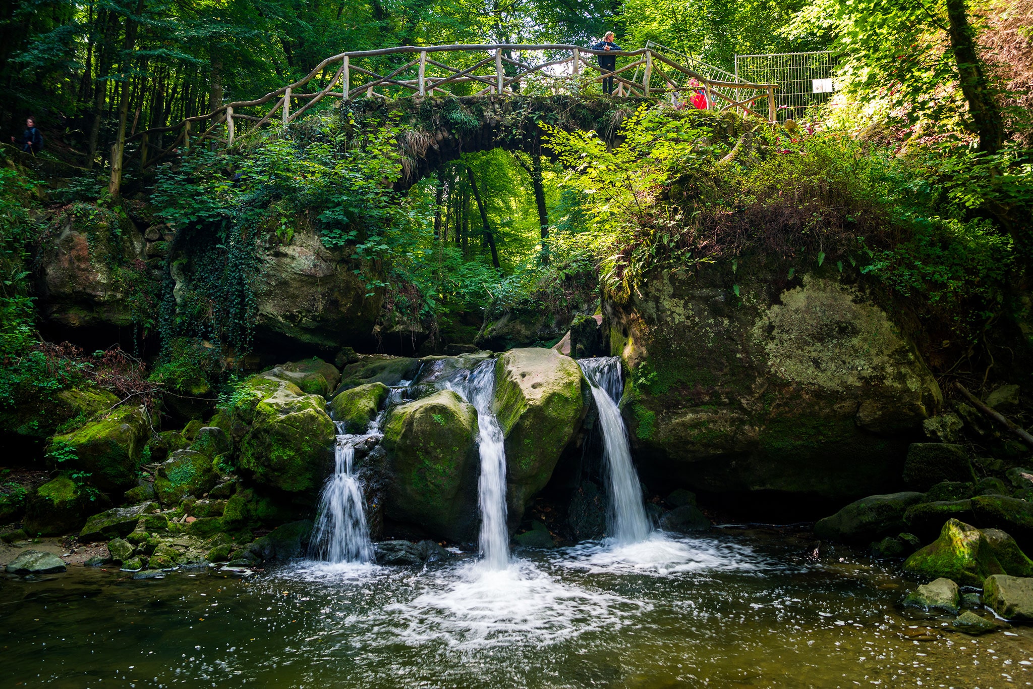
Schiessentümpel waterfall
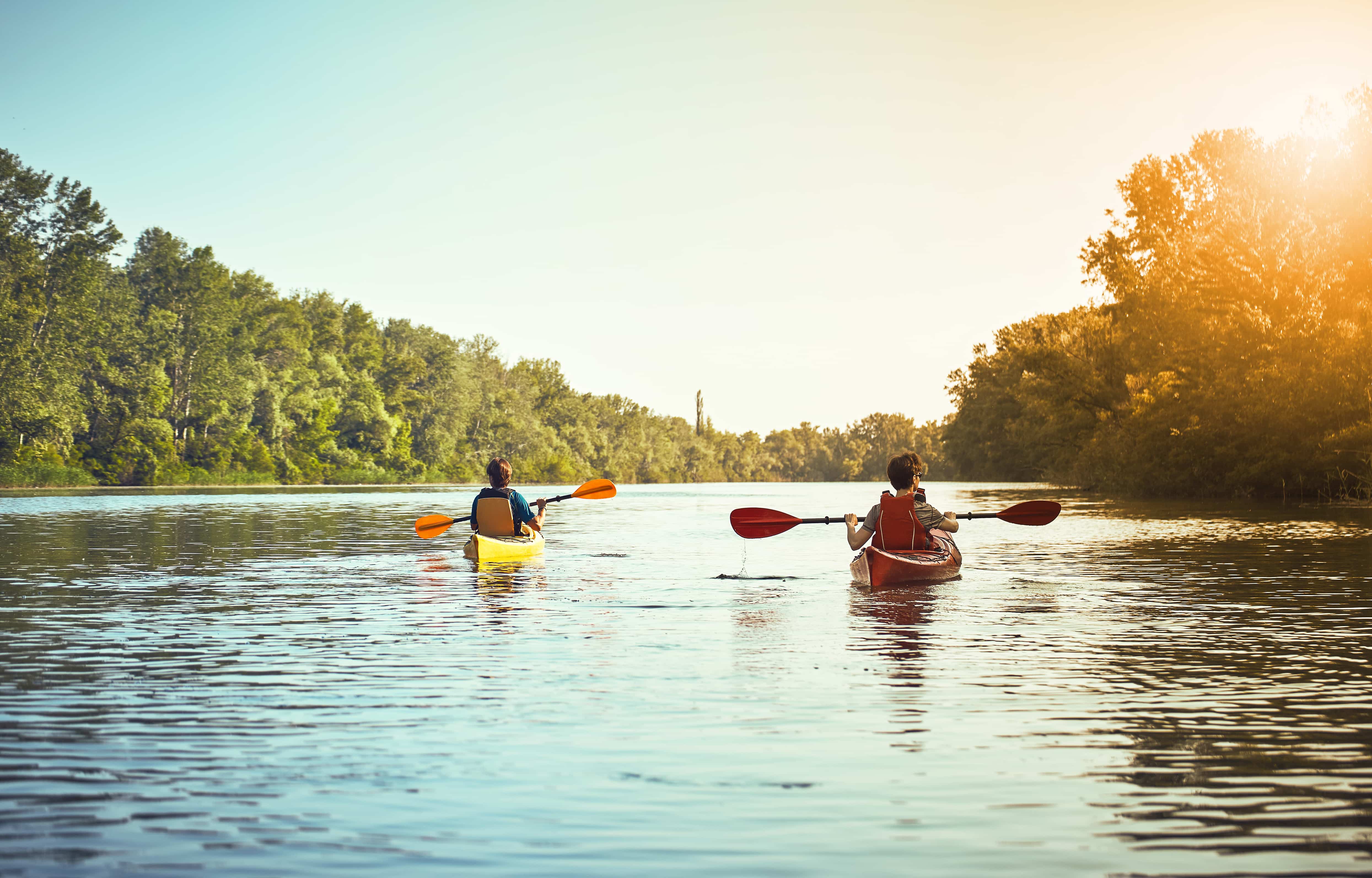
Canoe from Dillingen to Echternach
Kayaking fans can rent a canoe from Outdoor Freizeit and gently paddle down the River Sûre from Dillingen to Echternach. We recommend driving to the Campus Gare car park in Echternach (25-min drive from the hu Birkelt Village) and taking the 190 bus for Dillingen to the ‘Ermesinde’ stop (public transport is free even for tourists) to be able to return directly to your car at the end of your excursion on the river.
On foot or bicycle
The lovely countryside of Luxembourg has much to offer, but there is nowhere quite as magical as the forests of Müllerthal: under the cool, domed canopy of beech trees, mossy rocks are furrowed by torrents and tight crevices. These are the best trails:
E1
The celebrated E1 trail winds its way from Echternach to Berdorf via Wolfsschlucht (Wolf Canyon), where a stone staircase lead to a picturesque viewing point. Further on, the trail crosses the ‘Labyrinth’, a series of atmospheric rock faces and narrow passages, which takes you close to an ancient system of caves called the Huel Lee. Return to Echternach on a loop that passes by the Geierslee viewing point or take the 191 or 211 bus.
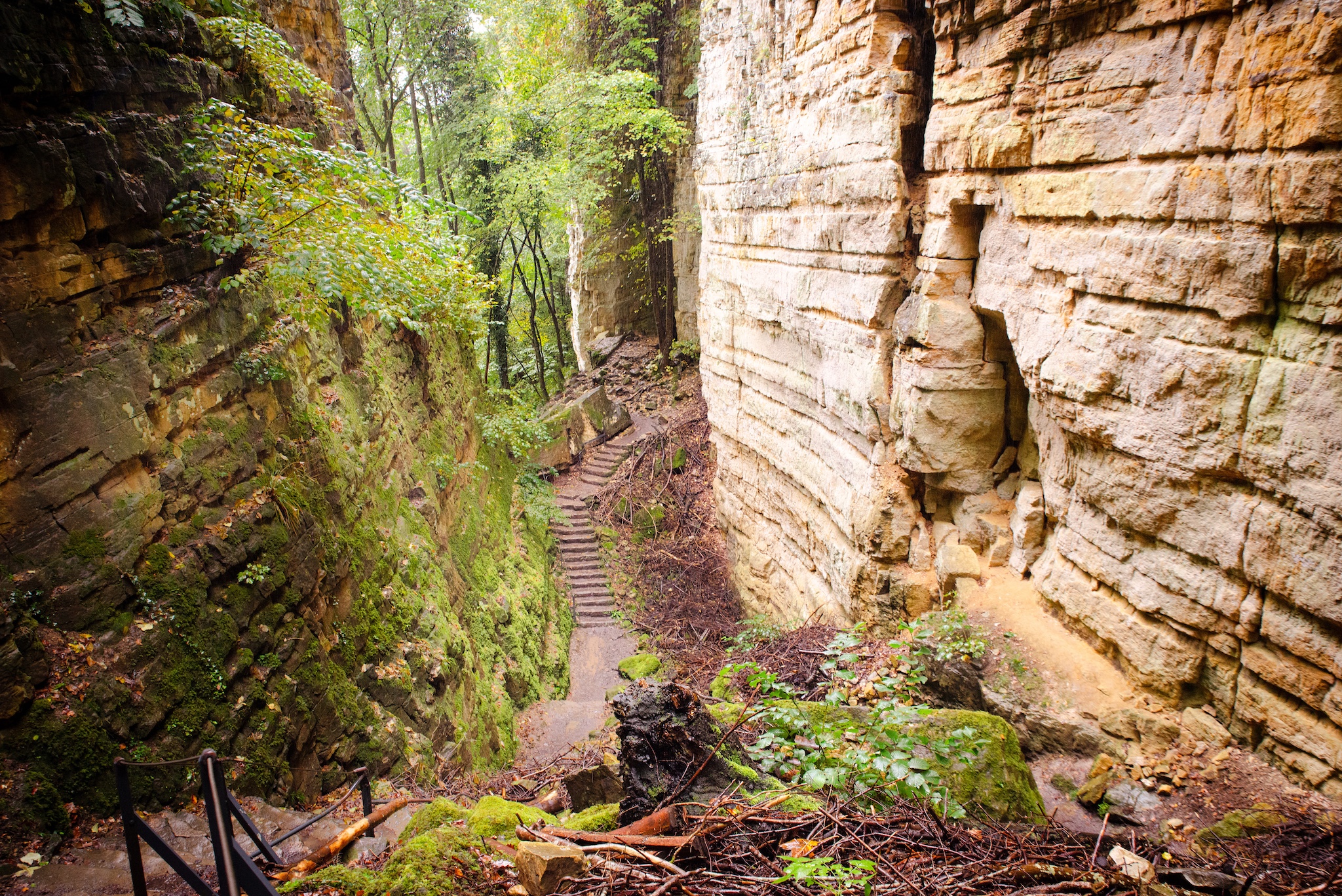
Wollefsschlucht
L4
Equally enchanting but less trodden is the 11-km circuit trail (a 2-hour hike) that starts from a car park in the forest 2 km south of the Nommern church (4 km west of Larochette). There are stairs to help you cross the steepest parts of a micro canyon. The most spectacular point is at the Drachelay rock, which circled by the trail with a tiny metal bridge.
B2
The B2 trail promises adventure for the whole family. Cross the Ruetsbechschlëff, a picturesque canyon where the cliff walls are covered with moss; then climb up the iron ladder to the Adlerhorst viewpoint and continue across an iron bridge to the Teufelsinsel rock plateau, the perfect place to stop and have a picnic. After, continue to the Däiwelsinsel (Devil’s Island) from where a stunning panorama opens up before you. Follow along the Roman roads to the Wanterbaach-Siweschlëff geological site and the crevice in the Schlüff rock.
Adlerhorst viewpoint
C2
The C2 trail is adventurous and suitable for the whole family. Kids will be thrilled by the narrow crevices, completely dark in places, like the Kuelscheier canyon that is 100-m long (if you suffer from claustrophobia walk around it not through it!). The departure point is the Op der Gare, an ex-railway station marked by a monument with a American aircraft bomb from World War II. The trail starts by crossing the village of Consdorf and then follows a path across meadows up to the Nidderbierchelchen spring. After which, the trail takes you to the Rittergang and Déiwepëtz canyons, and to the completely dark Kuelscheier canyon (take a torch or use the light on your mobile phone). The return trail is slightly uphill and skirts some marshes in the Seiert forest until arriving back to the start point.
Geo-Pad Haupeschbach & Halerbaach
The Geo-Pad Haupeschbach & Halerbaach is a 5-km long nature trail and takes you through the picturesque Haupeschbach and Halerbaach valleys. It is signposted by a fossilised shell, a reminder that the rocks in the area were formed by ancient oceans. The valley is of inestimable value and has been a National Monument since 1938 and is part of the Mullerthal UNESCO Global Geopark.
L2
The L2 trail goes from Larochette, across the valley of the White Ernz river up to Manzebaach. From here it continues along a stream through a splendid forest to arrive at the Castle of Meysembuerg, which is at about the half-way point. After which, the trail follows the ancient carriage road to the viewing point at Verluerekascht to then return to the starting point.
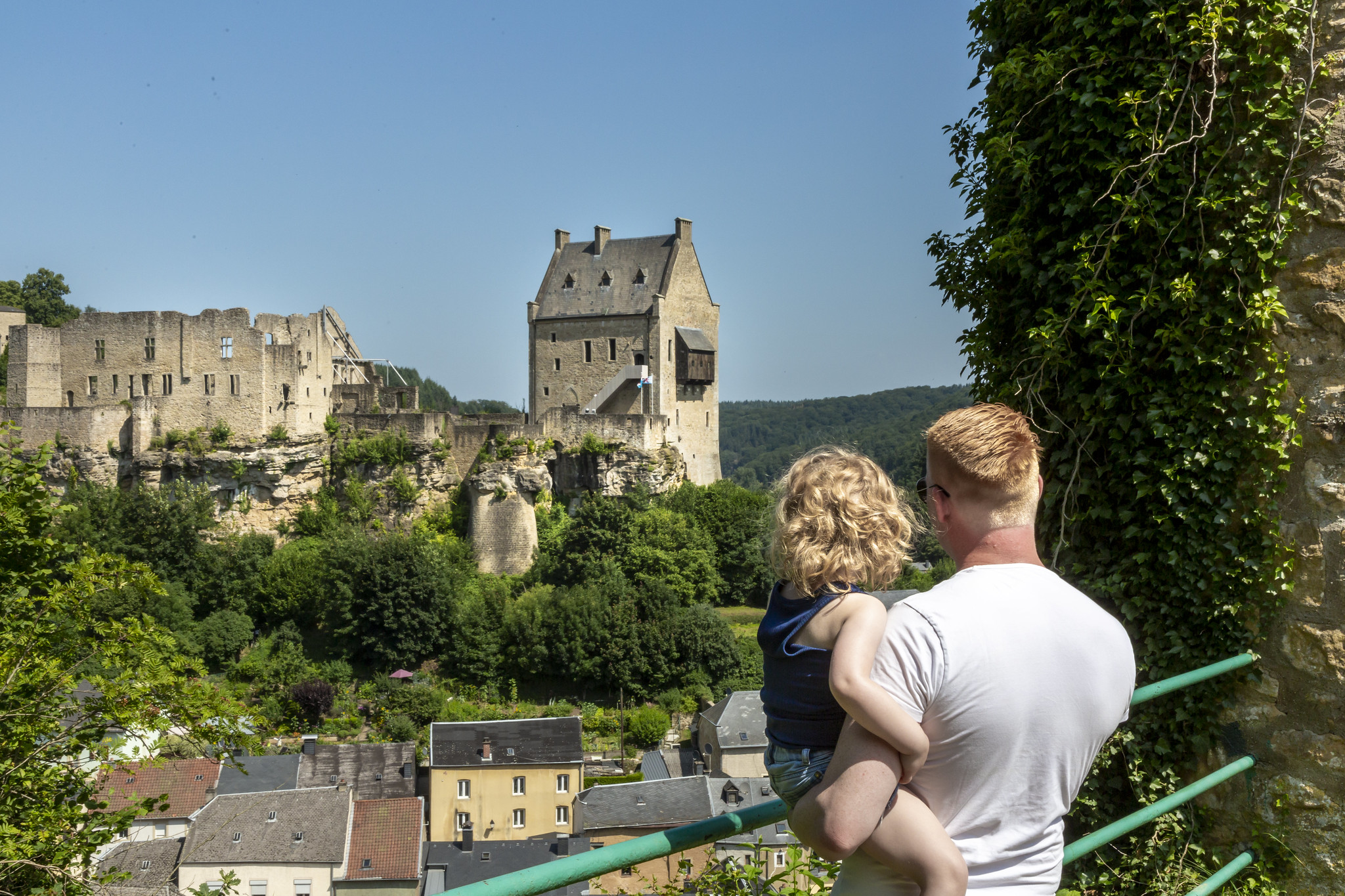
Verluerekascht viewpoint
Bicycle
The region is also ideal for cycle enthusiasts: if you rent a bike from Rentabike Mëllerdall, they have a number of different places where you can return them, such as campsites, hostels and tourist offices scattered around the Müllerthal region. There are plenty of hills, but there’s also a cycle path along the River Sûre up to Diekirch (27 km) which is, for the most part, flat. You can continue to the city of Luxembourg passing via the Moselle valley and an ex-railway line.
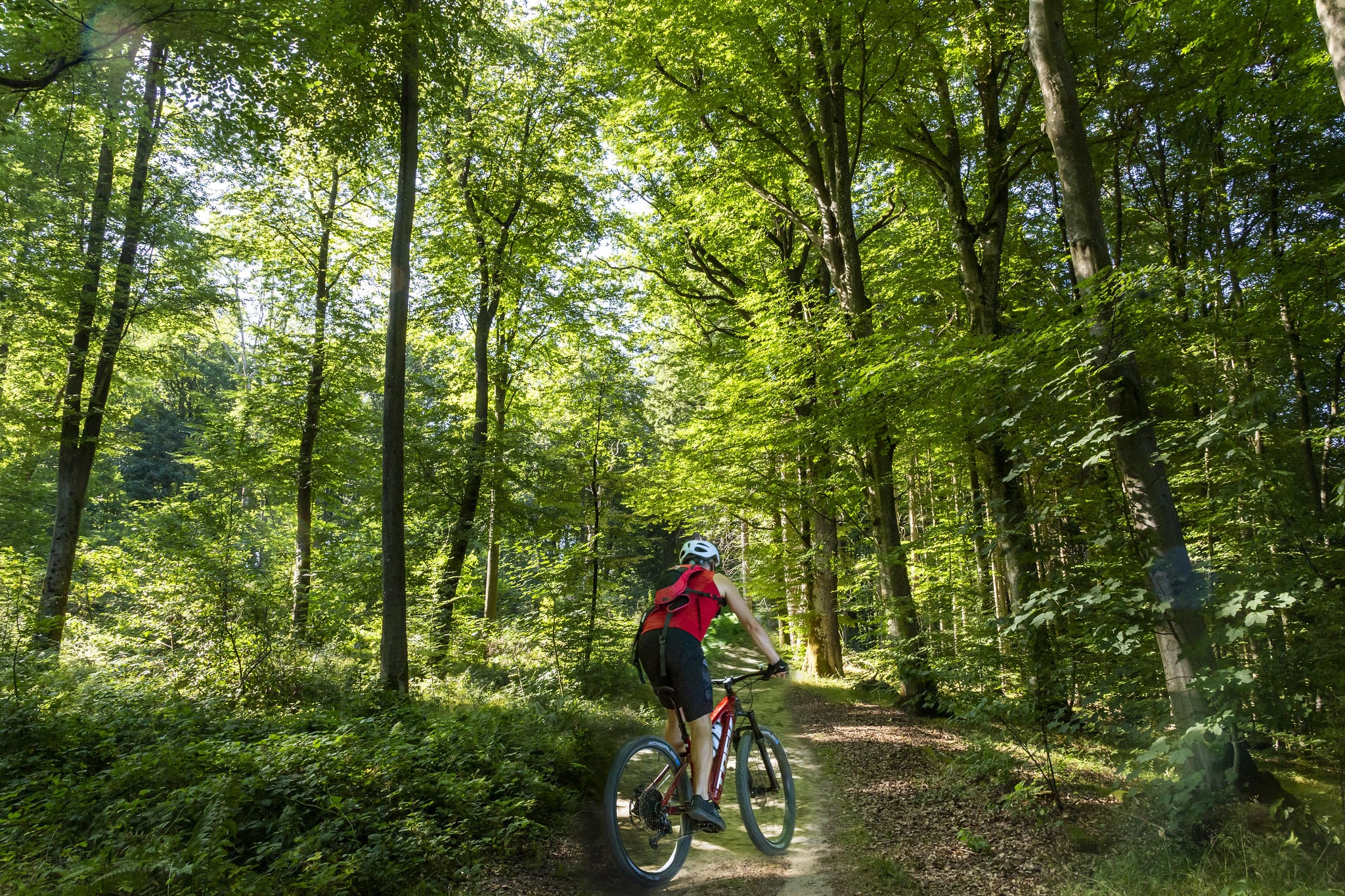
Cycling in the Mullerthal